
You need the Google Earth Pro program that it’s available for free.
Download it using this link Google Earth Pro
If you don’t have a key use your email address and the key GEPFREE to sign in.
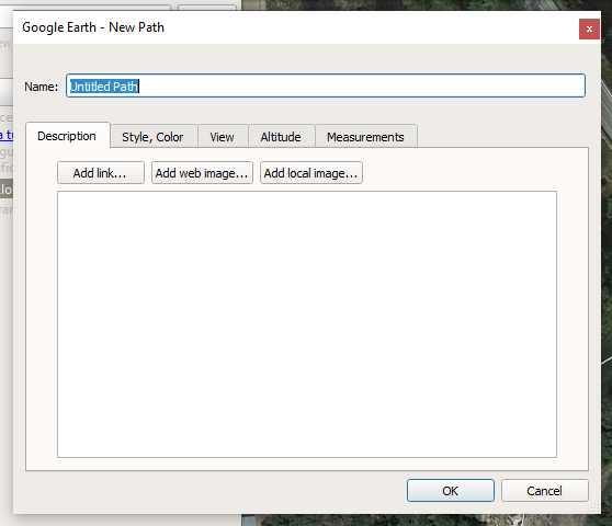
We need to make the rivers path with the ‘New Path’ tool:![]()
Write a descriptive name for your river and you can start clicking the river path points.
You need to start from the river’s birth until the river’s end in the sea.
Zoom in in the river to be as accurate as possible, and go clicking the river’s path.
You can add, delete and modify any path’s point.
Read the program’s help if you are unsure about any operation.
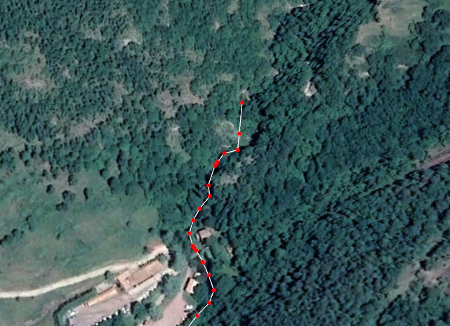
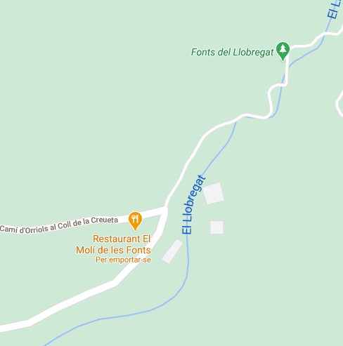
Many time the river can’t be followed because vegetation or bad satellite images, you can open the Google Maps website and preview the river’s path with the plain view.
Try to follow ancient path’s instead of actual canalization (if you know about it).
When you create a river’s tributary, try to use a point of the main river as tributary last point.
If the river you are creating it’s in the permafrost zone take care to extend the path inside the sea.

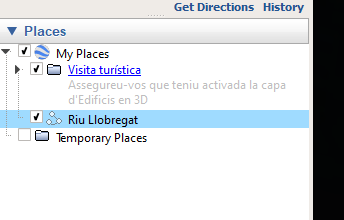
When you finish the river’s path you can close the ‘Edit Path’ window and while you have the ‘Place’ selected make a CTRL-C.
Now open the Notepad++ program and CTRL-V in a new window.
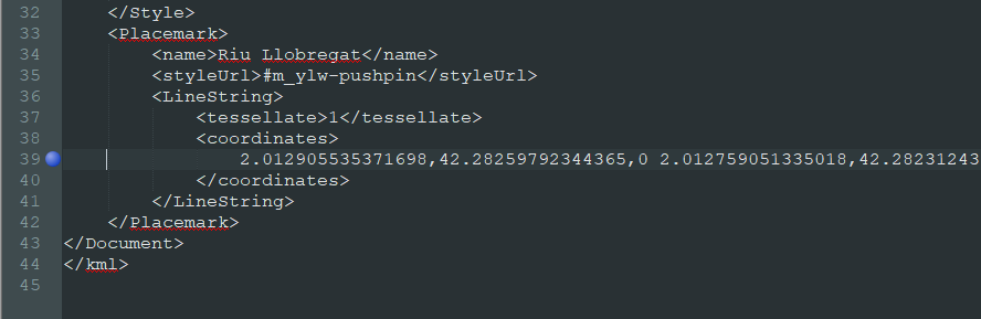
Delete anything except the line between the <coordinates> marker.
Then delete the front line spaces and make a search & replace, searching for ',0 ’ and replacing for ‘,’, this eliminates the third value of all coordinates that we don’t need.
To create the Mod, follow the generic How to create a Mod by hand instructions and recreate the Path \Ancient\Entity\Global\River[River Name]
and inside this directory create a new Index.art file with this content:
Group:{
Name:"River Name"

	String/Localization:{
	Name:"Name"
	}

	F32/Vector:{
	Name:"Point"
	Value:"2.012905535371698,42.28259792344365,2.012759051335018,42.28231243200502,2.012691567792824,......"
	}

	F32x2/Vector:{
	Name:"Width"
	Value:"(0,1),(1,20)"
	}
}
The values in the Width section are the initial river width and the river’s width at the sea, using meters as unit.
In this example we define a 1 meter width for the river’s birth and 20 meters width when the river reaches the sea.
Also create the localization file Index.en.loc with this content:
#./[River Name]/Name
[River Name]
You can group many rivers in only one Index.art file, see all the actual rivers in the program path
[Your Steam Library]\Ancient Cities\Ancient\Data\Ancient\Entity\Global\River